
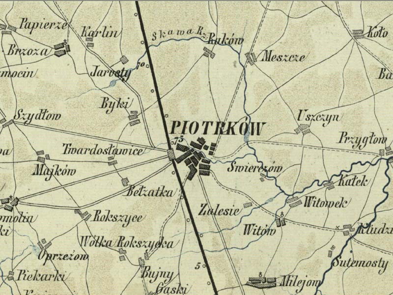
Mapa Dróg Żelaznych
Warszawsko-Wiedeńskiej i Krakowskiej
| Data utworzenia | 1853r. |
| Źródło | Biblioteka Narodowa |
| Autor | Wilhelm Kolberg |
| Plik | M0055.01.01.jpg |
| Wymiary | 800*600 |
| Tagi | |
| Albumy | |
| Odwiedzin | 3695 |
| Średnia ocena | nie oceniane |
| Oceń to zdjęcie |
Powered by Piwigo